內容簡介
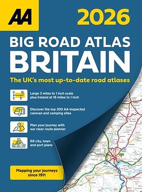
內容簡介 Large 3 miles to 1 inch scale including Ireland at 16 miles to 1 inch. This A3 format atlas is available in two binding styles; paperback and spiral bound. Each page has been titled with its geographical location so you can turn to the page you need more easily. Wide minor roads (more than and less than 4m wide), National Trust, English and World Heritage sites, crematorium locations and other hard-to-find places are indicated on the mapping. There are 68 city, town and port plans including central London and a list of tourist sites with satnav friendly post codes. 4 page clear route planner map. Plus, scenic routes, the top 300 AA inspected caravan and camping sites, over 1,800 golf courses and over 240 service areas. Available in both paperback and spiral formats. *The UK's most up-to-date road atlases* Main Features: - Up-to-date mapping from the experts at the AA - Large 3 miles to 1 inch scale including Ireland at 16 miles to 1 inch - A3 format revised and updated for 2026 - 4 page clear route planner map - 68 city, town and port plans
作者介紹
作者介紹 AA Publishing, a division of the Automobile Association, the UK's largest motoring organization, we strive to stay Always Ahead, with an extensive range of trusted maps and atlases, leisure guides and dependable driving books. Our in-depth knowledge enables us to create high quality atlases, maps, walking and leisure guides for the UK and France.